
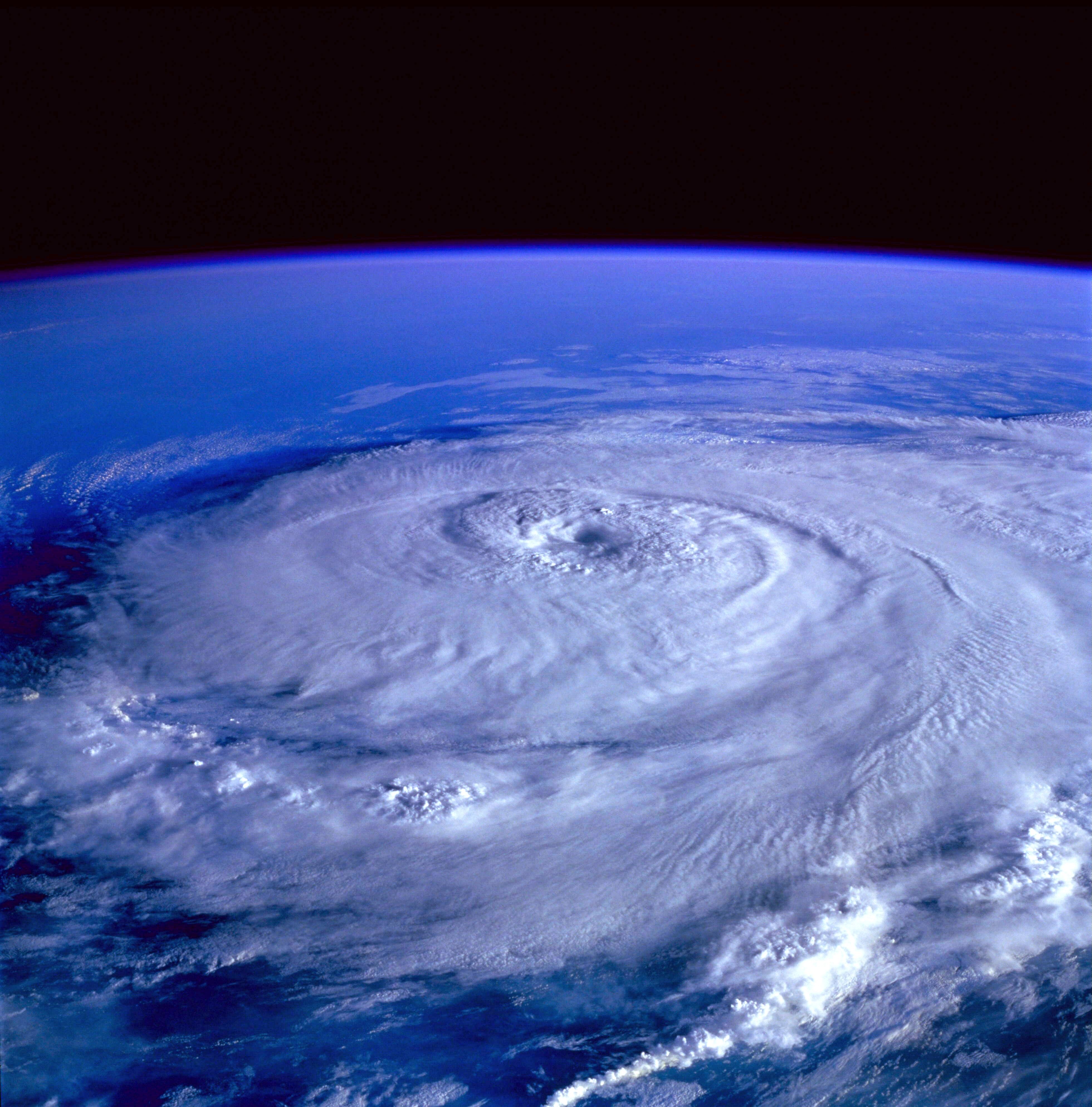
Photo by Pixabay
By Olivia Gehm
TAMPA, Fla. — As the end of September marked almost a full year after the most recent Atlantic hurricane, Hurricane Melissa, made landfall, there has been plenty of discussion about the Atlantic’s record-breaking hurricane drought.
While Hurricane Isaias finally brought the drought to an end, its causes and effects are still hot topics of discussion. Specifically, the term “El Niño” keeps surfacing, and while this year’s phenomenon is on the strong side, an El Niño is actually a common, well-documented, and well-understood weather pattern.
According to Nicolas Grondin, a professor in the department of environmental studies at the University of Tampa, this year’s El Niño follows the expected pattern, and while it may be relatively stronger this time around, it is not out of the ordinary.
“The El Niño is part of a bigger picture phenomenon called the El Niño Southern Oscillation,” Grondin said. “The El Niño effect basically is a cycle, changing phases of how the atmosphere circulates air across the Pacific Ocean.”
While the effect directly impacts parts of the Pacific, its effects are widespread and have impacted weather patterns here in the Gulf. Particularly, El Niño produces wind shear that makes hurricane development much more difficult than normal during peak season.
While hurricane season is officially defined as June through November, August through October historically sees a peak in activity, in part due to warmer ocean temperatures. While these temperatures are conducive to hurricane development, wind shear works against them.
“Vertical wind shear is when wind speed or direction changes with height,” Grondin said. “If there is too much wind shear, we like to say the hurricanes get beheaded.”
While there has been debate and discussion surrounding the impact of climate change on the El Niño pattern, the only real place for climate change to influence El Niño is in its magnitude, or severity.
“The El Niño effect happens with or without climate change,” said Grondin. “But we can argue, did climate change make that event more likely, more powerful?”
While the formation of a strong hurricane such as Isaias is much less likely during an El Niño year, it is not impossible, nor is it unheard of. Hurricane Idalia, the Category 4 hurricane that made landfall in North Florida in 2023, also occurred during an El Niño year. Idalia was the third-strongest modern hurricane to make landfall in the region, showing that while storms are less likely to form under the El Niño pattern, they can still be devastating and costly.
This year’s pattern has so far resulted in far less storm activity in the Atlantic, with the season’s first hurricane only recently developing. Going forward, Grondin said the El Niño will likely result in a wetter, cloudier winter for Florida. In the context of this summer’s severe lack of rainfall, the area could actually benefit from increased precipitation over the coming months.
“The good news is that we need the rain, you know,” he said. “We think about students; they come here to not deal with rain. They want to lie on the pool or the beach and not go to class. Unfortunately, this winter is probably one where they go to class.”